Make a Submission
Maritime Transport
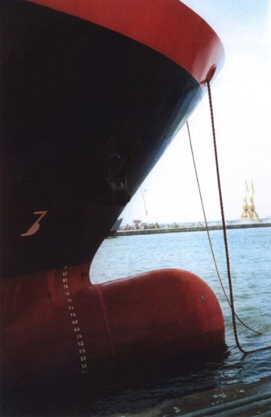
Photo Gallery
Call
Organising Committe
Scientific Committe
Thematic Areas
Registration Fee and Attendance form
Dates and deadline
Photo Gallery
Social Networks


 Links
Links


 With the support of